Exploring the Natural and Cultural Wonders of Gerês-Xurés: A December Adventure in North of Braga
by Monika Suchoszek
The Gerês-Xurés Transboundary Biosphere Reserve (Reserva de la Biosfera Transfronteriza Gerês-Xurés) stretches across Galicia (Spain) and the North Region (Portugal). With its highest peaks, Nevosa (1,646m) and Fontefría, located in the heart of the Serra Gerês-Xurés mountains, it was recognized as a UNESCO Biosphere Reserve in 2009. A rare but iconic predator in this area is the Iberian Wolf. More commonly, you can encounter Garrano Horses, semi-wild horses native to northern Portugal. They roam freely in the reserve and symbolize the area’s cultural and natural heritage. Pyrenean Oak dominates the reserve’s forests, providing essential habitats for wildlife. We also noticed many eucalyptus trees, but this depends on the part of the vast reserve you’re exploring. I particularly admired the rock formations visible in the higher parts of the mountain range.

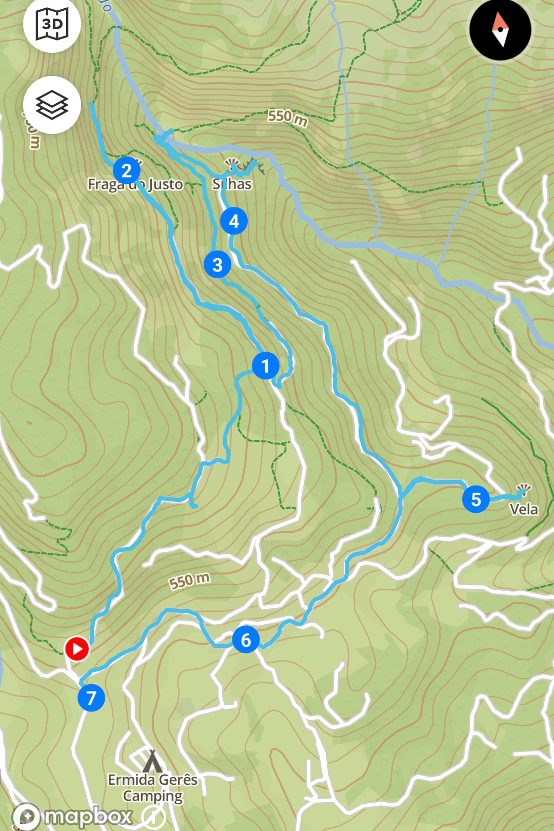
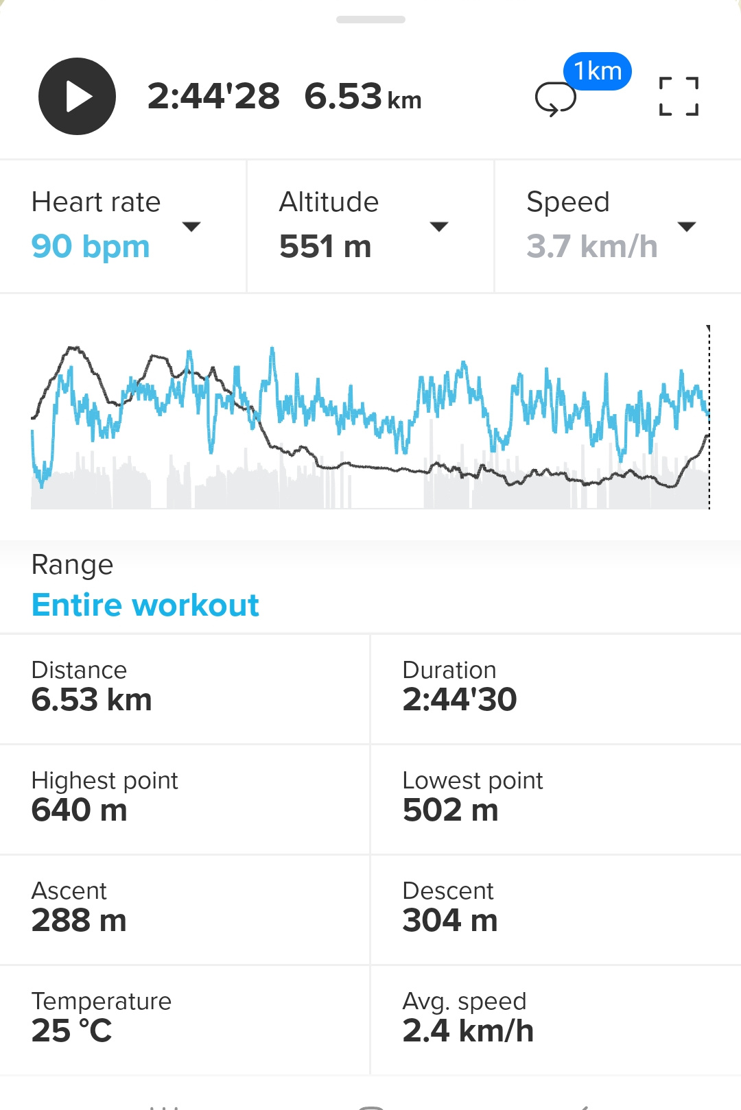
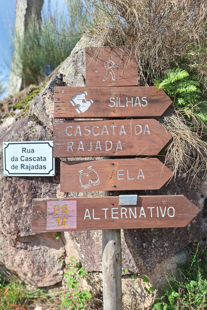
Our hike began at Miradouro da Ermida in the village of Ermida, where we left our car. We embarked on a short loop of 6.5 km (Miradouro da Ermida – Miradouro Fraga do Justo – Cascata da Rajada – Miradouro Silhas – Miradouro da Vela – Miradouro da Ermida), navigating with Organic Maps and partially following the trail marked as the “PR14 Alternativo” loop.
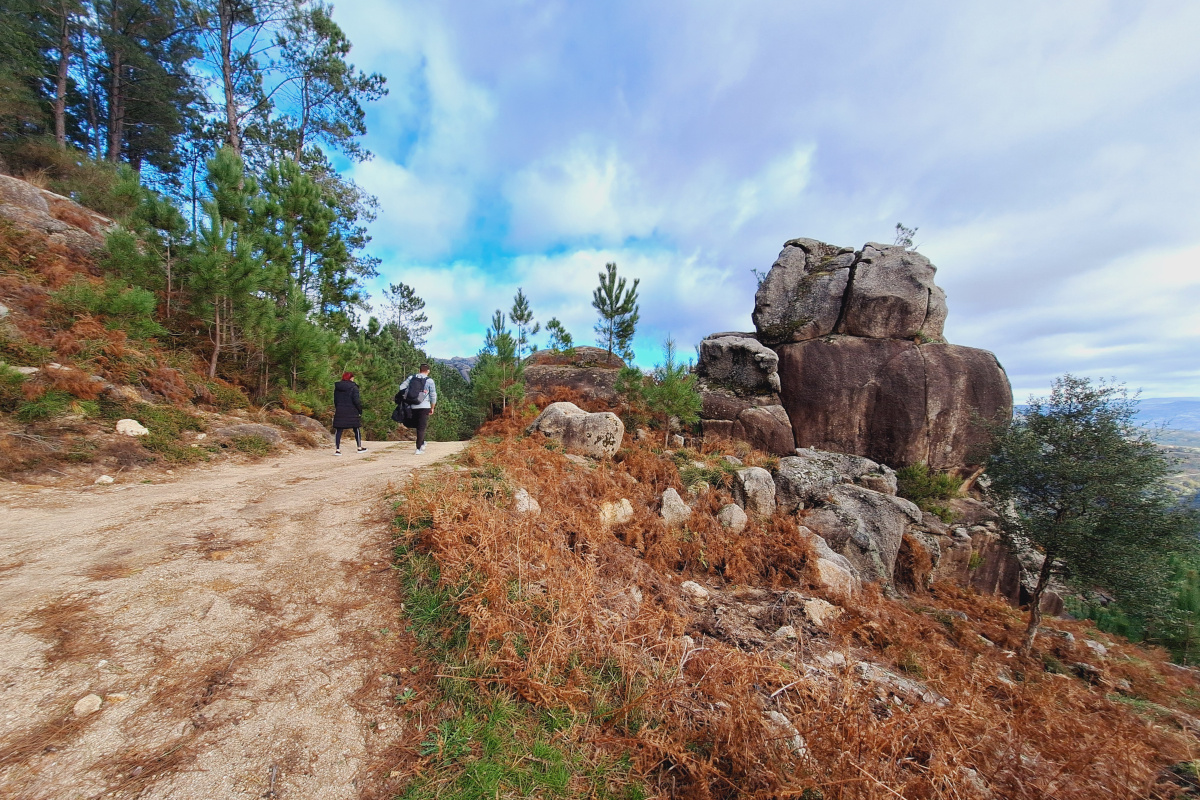
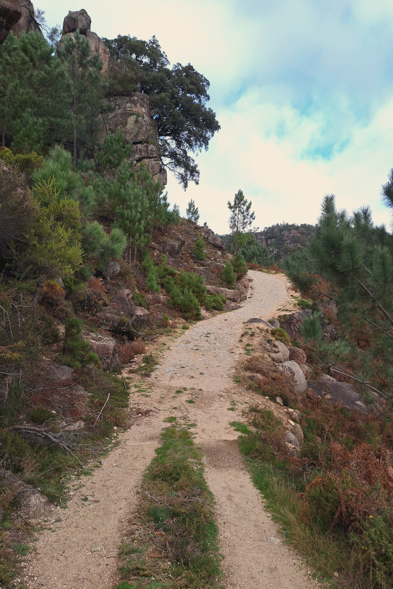
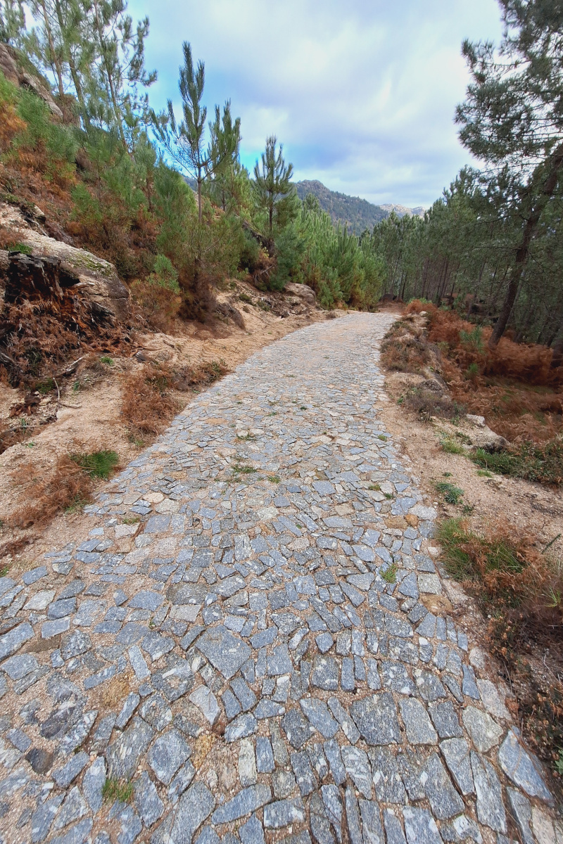
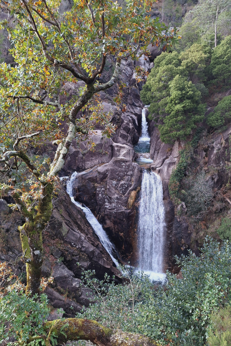
First, we followed signs toward Miradouro Fraga do Justo. From this viewpoint, you can see the entire surrounding valley of the Arado River, with its fast-flowing waters running between rocks before turning into Rajada waterfall visible below. Cascata da Rajada was our main goal—a picturesque waterfall at the end of an enjoyable hike with plenty of shade. The trail becomes a bit rocky at the end but isn’t particularly technical. According to Google reviews, there’s less water in August, but in early December, the stream was abundant. Some visitors climb the rocks at the end to reach the base of the waterfall. Be cautious, as the rocks can get very slippery. You can also find a larger, deeper lagoon for swimming in summer. The surroundings of Cascata da Rajada are a pleasant spot to take a break.

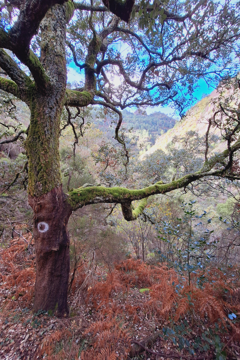
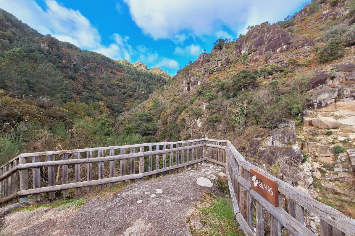
Close to the waterfall, you can find additional viewpoints on natural rocks, such as Miradouro Silhas. The views from both sections of the viewpoint are stunning. It’s worth exploring to find paths leading to both parts, though they are not always obvious and require walking between trees and bushes. We then continued our way back to Ermida village, stopping at another viewpoint, Miradouro da Vela. This viewpoint is very accessible, with a clear path leading to it.
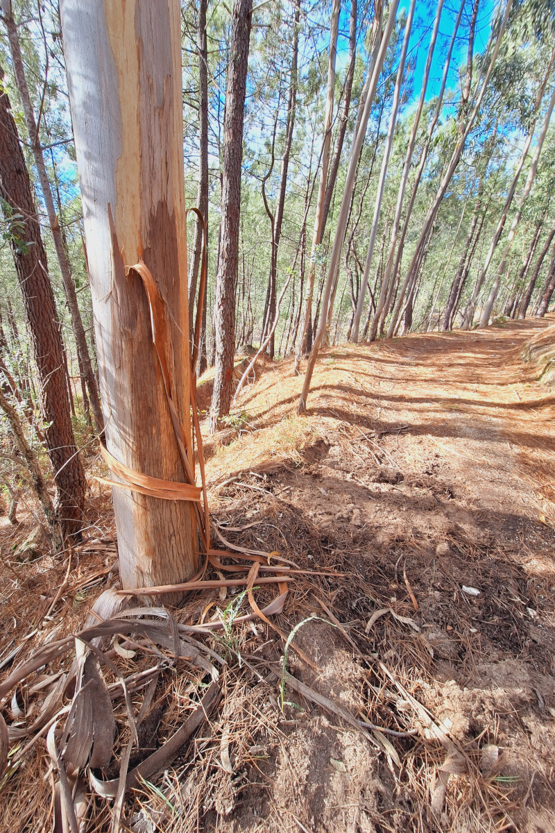
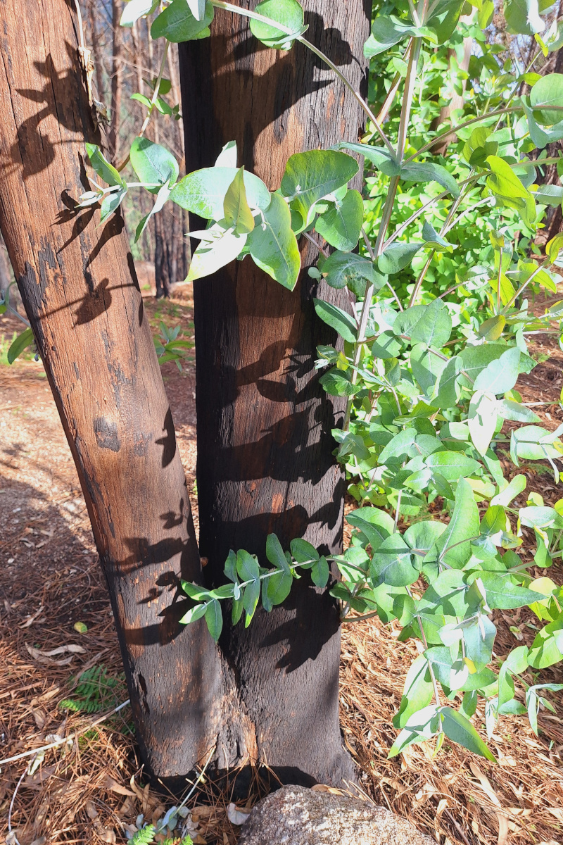
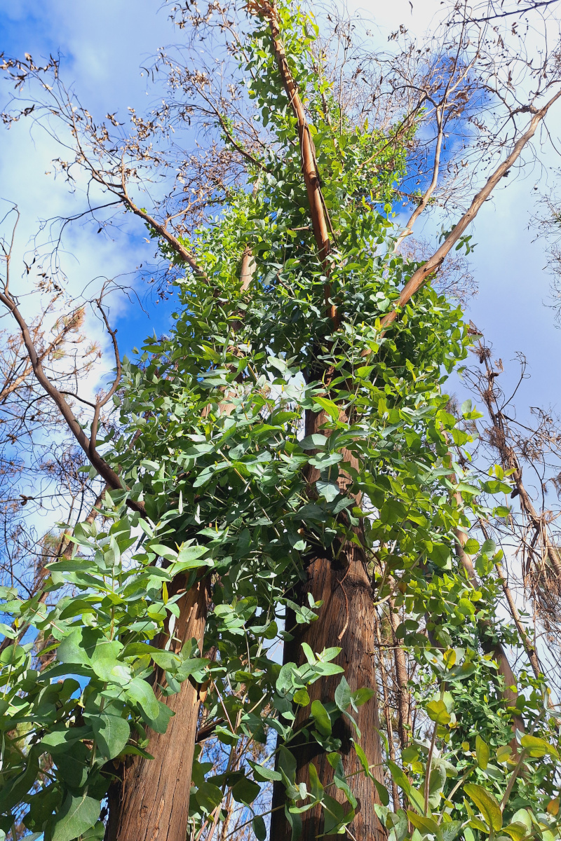
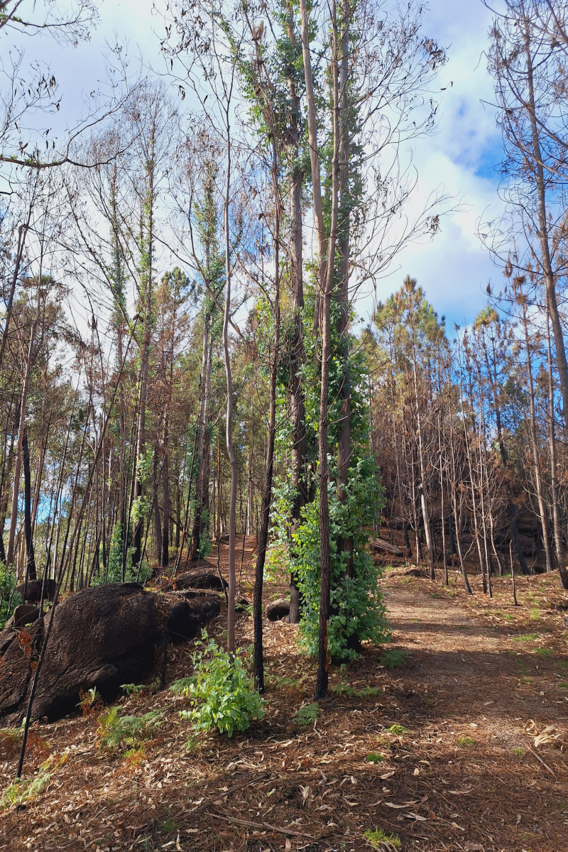
Nearby, we noticed part of the forest had been recently burned. Large parts of central and northern Portugal are covered by eucalyptus, a highly flammable tree. Eucalyptus thrives and regenerates after wildfires, making it controversial in Portugal. Introduced in the 1850s, eucalyptus is now the most common tree in the country. While it’s valuable to the pulp industry for its fast growth and high yield, it depletes soil and water and spreads wildly on unmanaged lands. Its flammable leaves and bark exacerbate the wildfire risk. The photos below, clearly show how quickly eucalyptus can recover after late summer fires.
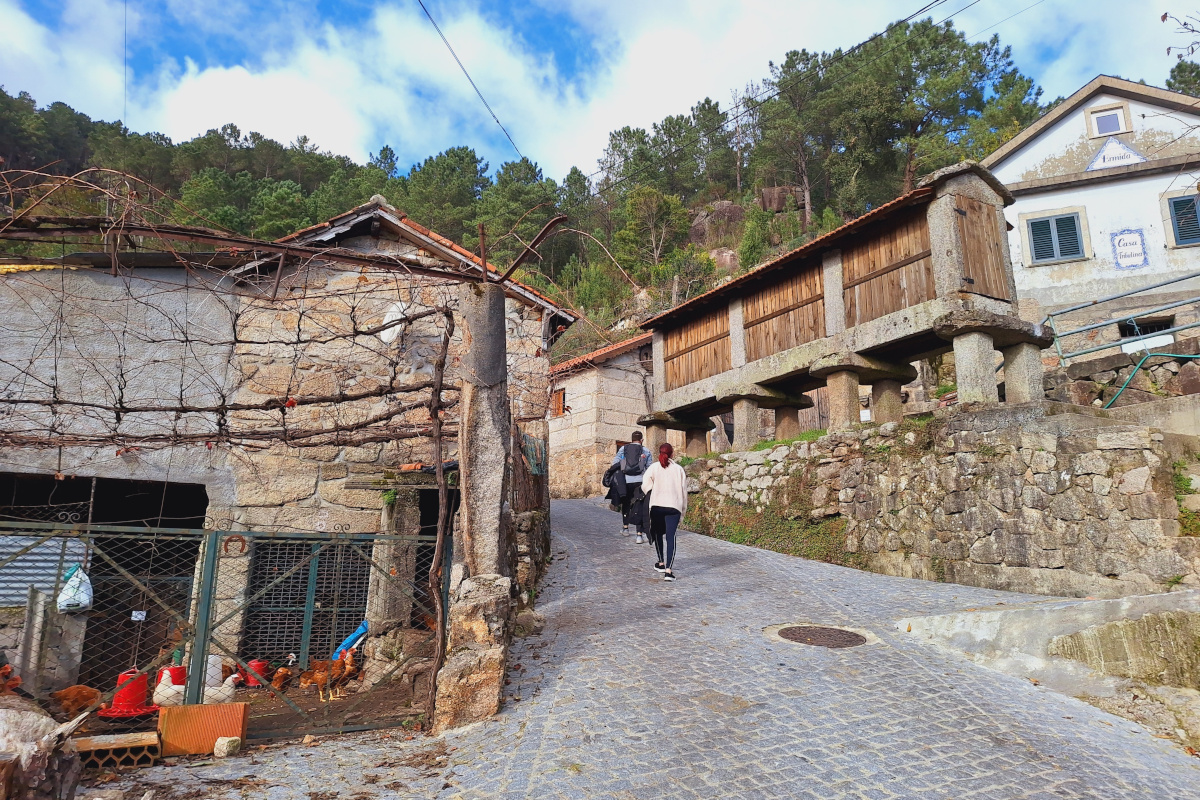
After visiting this viewpoint, we continued our relaxing walk to explore the village and its rural surroundings. One striking feature of the area is the presence of hórreos, traditional granaries found near almost every house. These structures, built from wood or stone and elevated on pillars ending with flat stones, prevent rodents from accessing stored grain. They are typically square or rectangular with slits in the walls for ventilation.
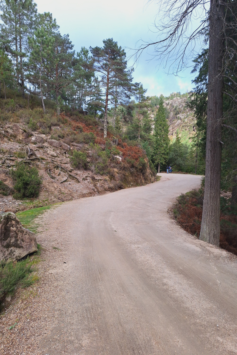
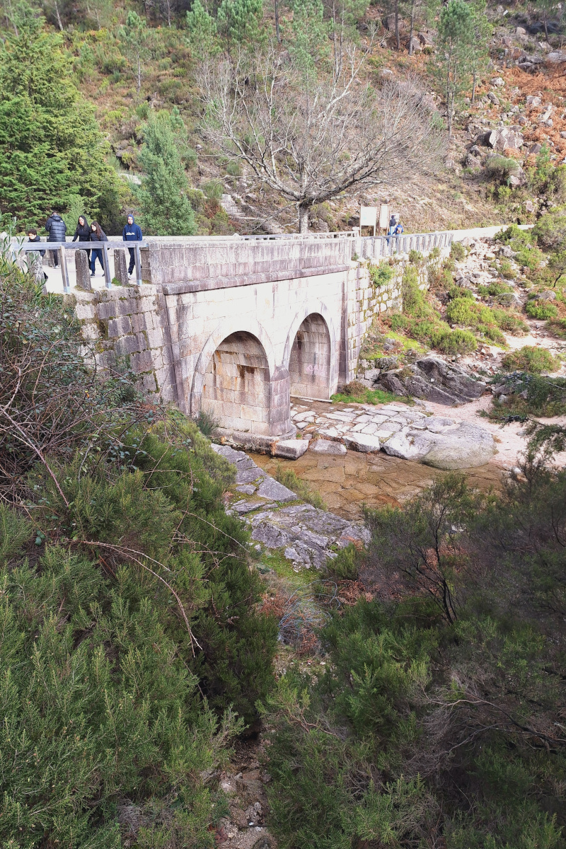
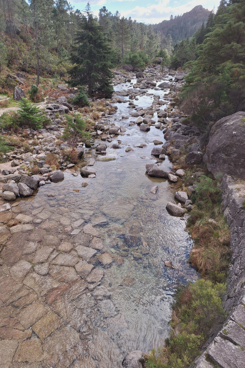
Later, we visited the nearby Cascata do Arado. We parked near the roundabout where the paved road ends (coordinates: 41.715924, -8.132380) and walked 15 minutes along the dirt road (approximately 850m), which is manageable for children. You can also drive closer, as the dirt road is in good condition with ample parking. Cascata do Arado is a beautiful, small waterfall that’s easy to access. In summer, visitors often swim in its pools. To reach the base of the waterfall, you need to navigate an unmarked trail and wade through the river, as the official path leads only to the top viewpoint. Be cautious—there are warning signs about accidents.
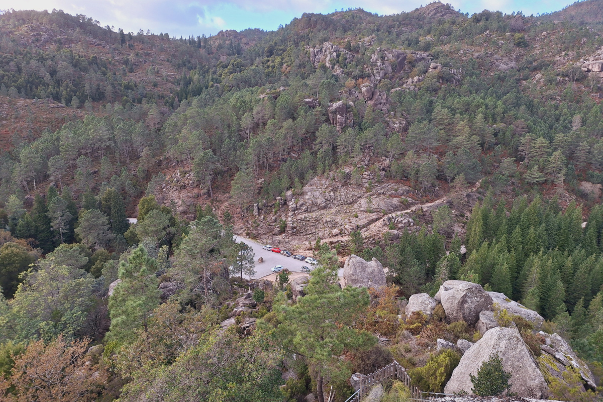
Lastly, I hiked to a viewpoint (Viewpoint Rocas) near the parking area. The climb is steep and unmarked, taking about five minutes. While there isn’t a clear path, the ascent involves scrambling over rocks, with the last section featuring artificial stairs. Though the climb is tricky and involves some trial and error, it was more interesting than the panoramic views at the top which is nice but not the best we have seen.
The Gerês-Xurés Reserve is a remarkable destination for nature enthusiasts, offering opportunities for hiking, wildlife observation, and cultural exploration. Spending just one day in this park convinced me it’s a place worth returning to for a longer adventure. Especially when days become longer and more daylight would allow for longer hikes.
Practical info:
- The Geres-Xures Transboundary Biosphere Reserve website contains description of hikes from this region, PR1-PR15 and longer ones GR34 (34km loop), GR50 (187.5km linear). There is pdf file with all detail for each hike that can be downloaded but it’s not really useful to find your route, it’s nice general overview though. We used Organic Maps app to navigate and all trails were marked in this app so we didn’t have any issues.
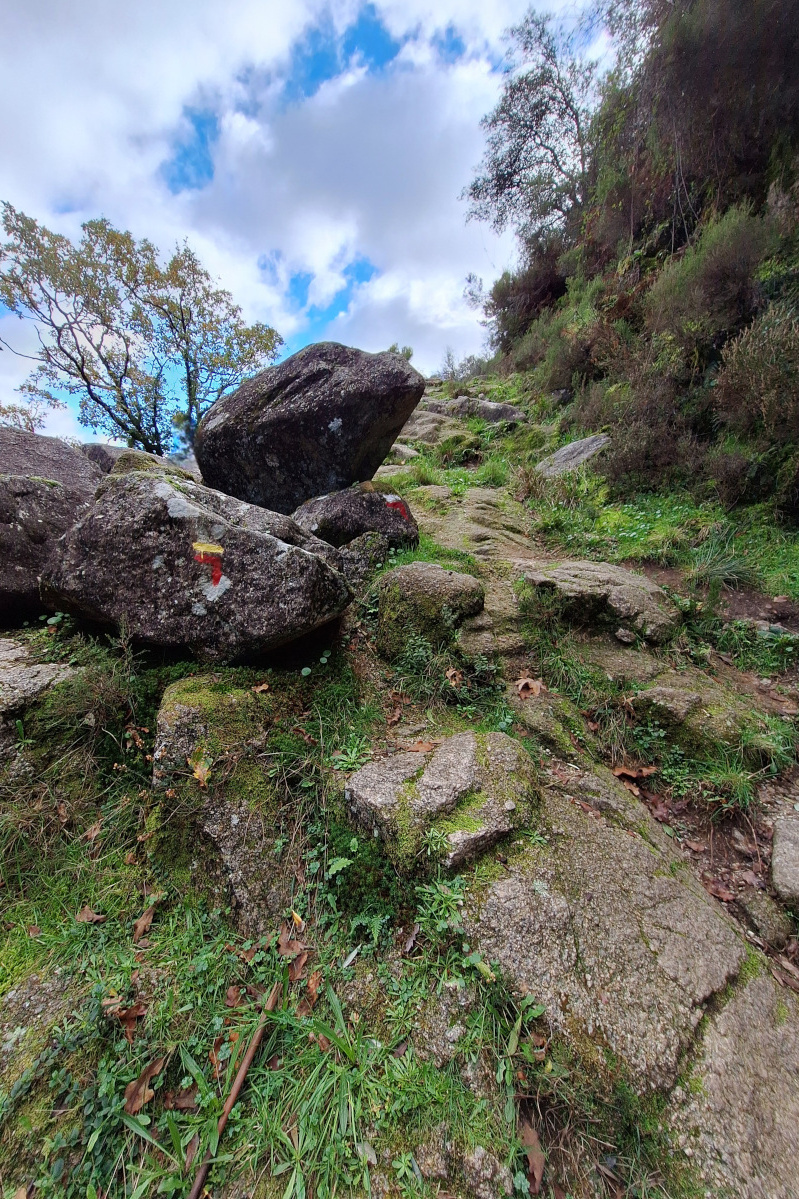
- Details of PR14 can be found on the official website. Trail is marked with yellow and red horizontal stripes. Where a route changes direction, the red stripe will be L-shaped showing which way to turn (below example means that we should turn left). More detailsed explanation is included in pdf available under above link.
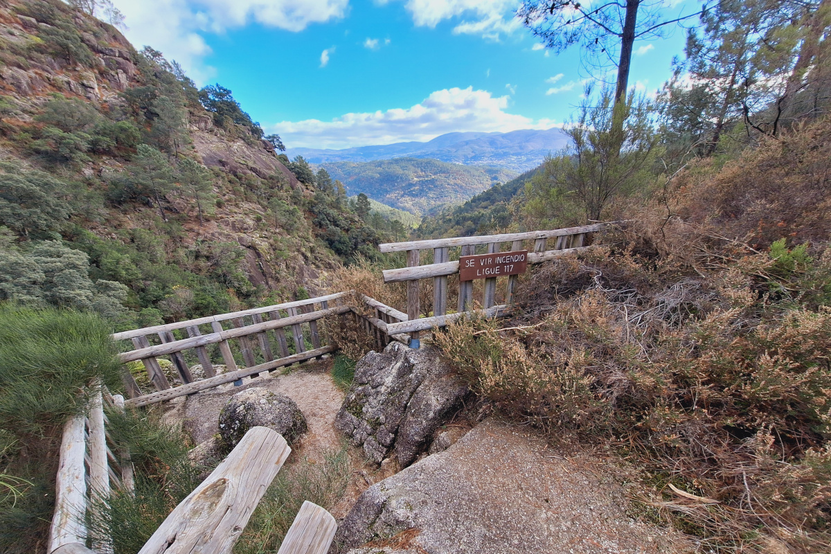
- There were signs on each viewpoint (below Miradouro Silhas) “Se vir Incendo, ligue 117” what can be translated to
“In case of fire, call 117”.
Subscribe via RSS
